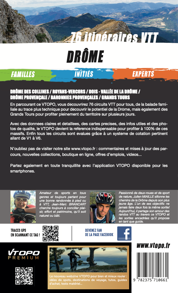
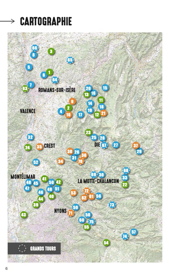
Here is the sector-by-sector breakdown chosen in this guide:
DROME OF THE HILLS
Secret and discreet, it will charm you with the roundness and softness of its landscapes. Its wine-growing region is renowned and its immense forests are unique .
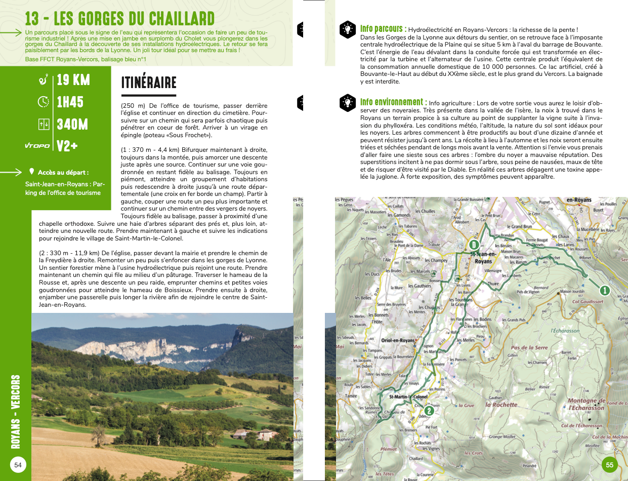
ROYANS-VERCORS
The landscapes are green and the rivers are welcoming. The Vercors imposes itself like a sheer wall. Surrounded by soaring peaks, the gorges are spectacular.
DIOIS
Drôme Valley: the Drôme river, one of the last wild ones in Europe, has cut through this territory. This valley has shaped, nourished, fortified and inspired this region.
DROME PROVENÇALE
The Drôme Provençale lays claim to its Mediterranean roots and traditions . Country of sun and well-being, it charms both the tourist and the person who lives there permanently.
PROVENÇAL BARONIES
Sub-sector of the Drôme Provençale but with its own characteristics . Landscape of valleys, cliffs and mountains, with its own micro-climate. The sweetness of life is omnipresent there.
GREAT TOURS
3 different hiking routes, from 4 to 5 days, through the most beautiful landscapes of the Drôme. Each of them in a different territory, for a desire to escape at all times.
- Pays : France
- Région(s) : Provence-Alpes-Côte d'Azur
- Département(s) : Drome
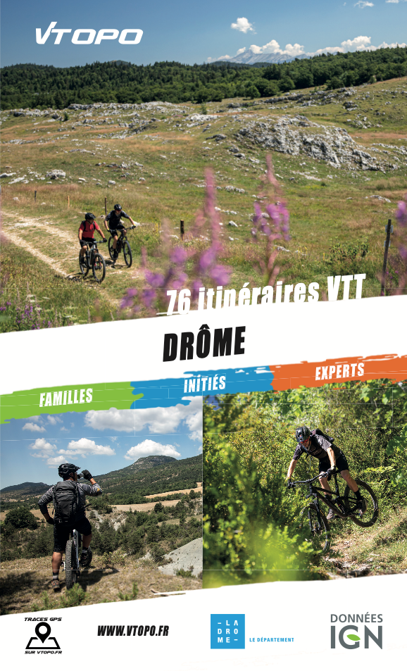
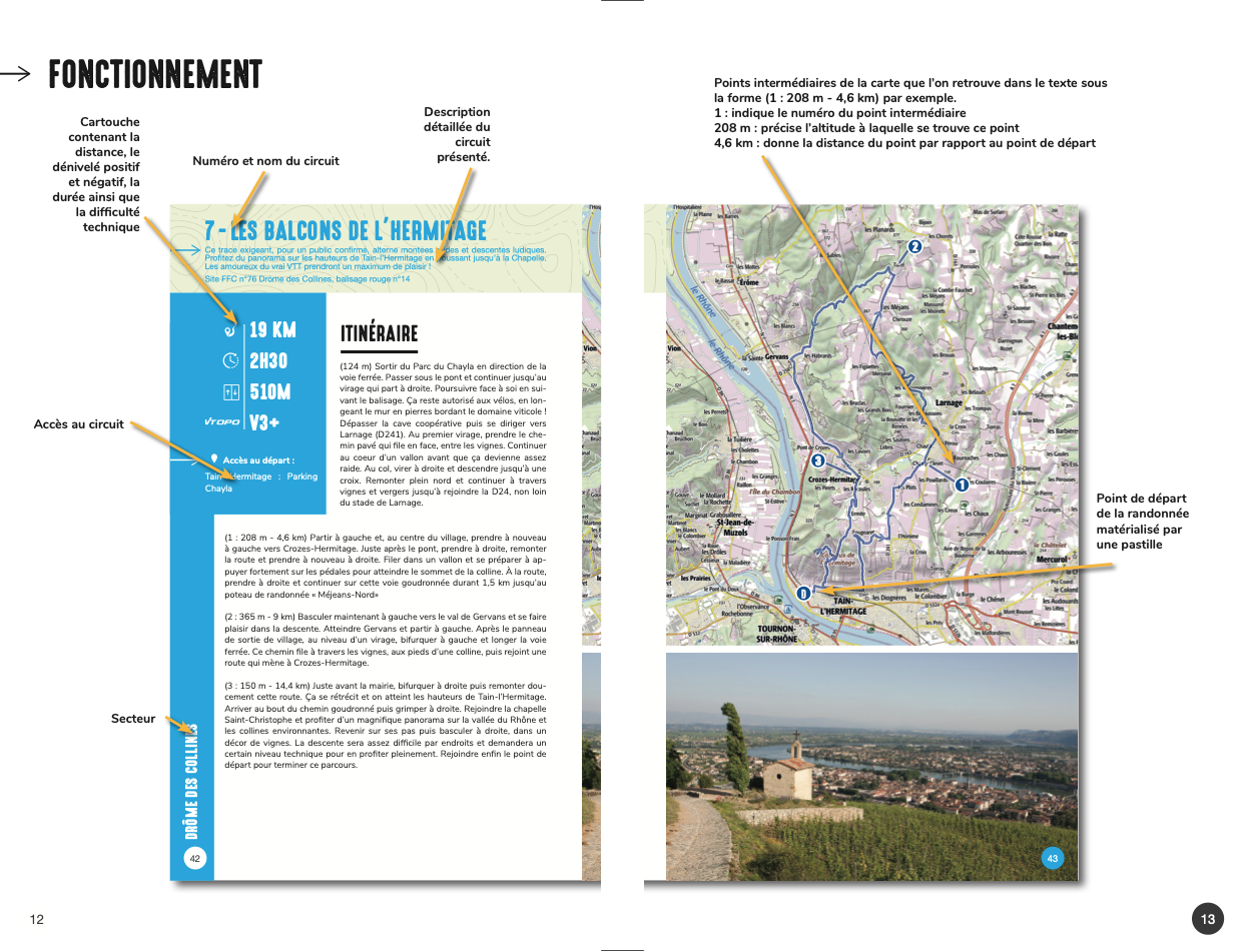
- 76 circuits détaillés avec cartes IGN
- Format pratique 14 x 23 cm et léger 372 g
- Traces GPS au format GPX compatibles App smartphones et GPS portables
- Des infos récurrentes très utiles : variantes, région, point de vue...
- Avec le système de cotation technique VTOPO de V1 à V6
- 192 pages en couleur
- Photos
- Langue(s) : French
- Auteur(s) : Jean-Marc Brancart und Julien Miaille
- ISBN : 978-2-37571-066-1
- Date de parution : 1. April 2023
Livraison offerte (sauf MON AFGHANISTAN : un français au cœur des montagnes, livre de plus de 2kg) à partir de 60€ en France métropolitaine, Corse, Andorre et Moncaco. Tous les tarifs ici.
Expédié sous 48h dès parution.
Un lien pour télécharger vos Traces GPS vous sera envoyé par e-mail.
Les Traces GPS sont complémentaires du contenu des topo-guide VTOPO.
Nous vous déconseillons d'utiliser uniquement les Traces GPS sans la consultation du topo-guide en question.
Avec ce dernier, vous aurez accès aux niveaux de difficultés, à des recommandations, des précautions et à un descriptif détaillé, utile en cas d'erreur d'orientation. Vous aurez aussi la possibilité de visualiser des variantes et autres possibilités.

