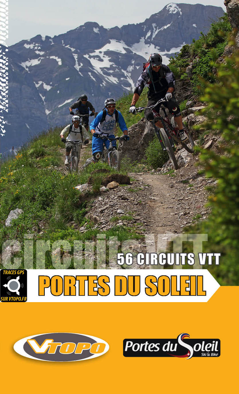
The Gates of the Sun
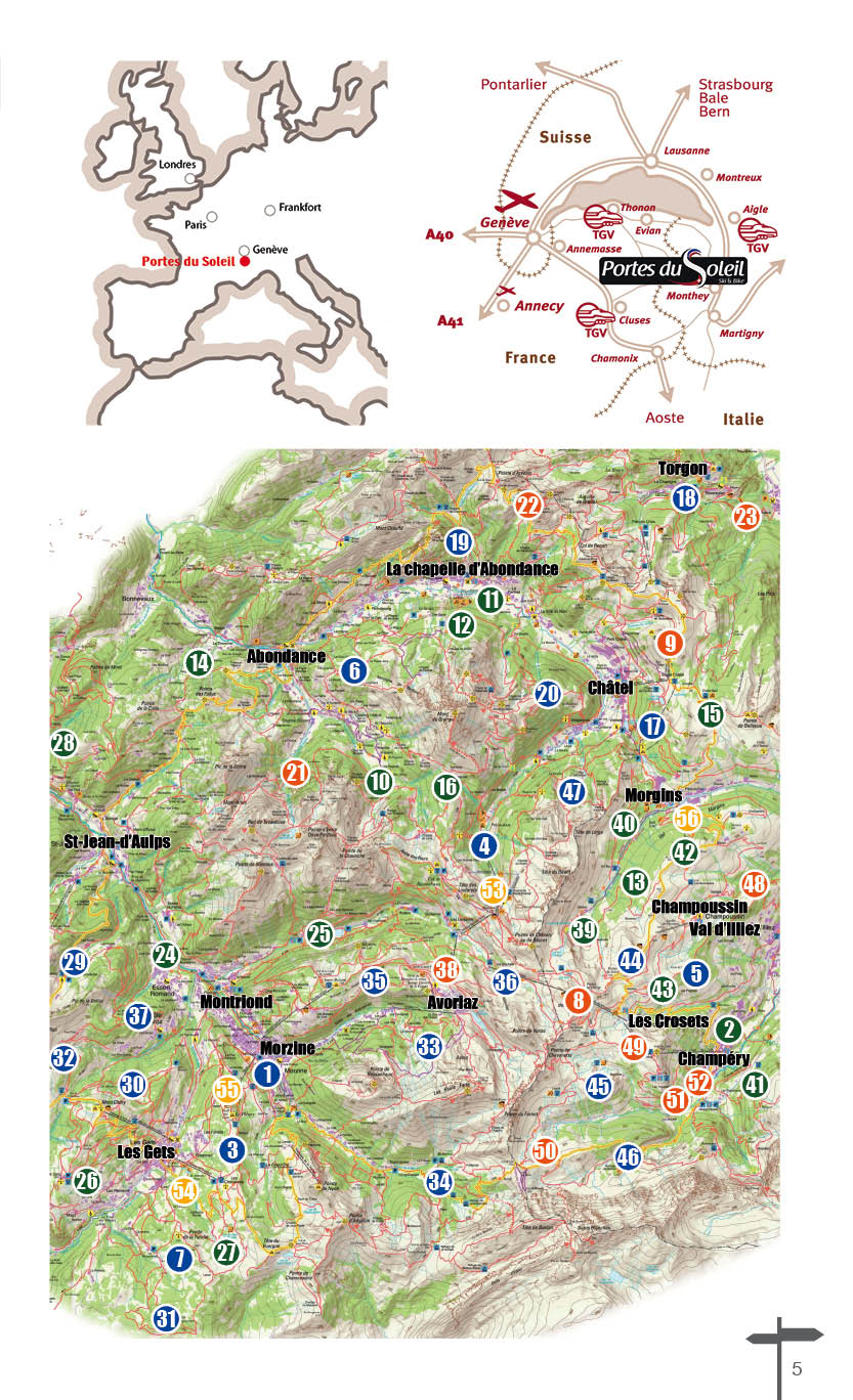
The Portes du Soleil area extends over several valleys: the Aulps valley and the Abondance valley for France, the Torgon side and the Val d'Illiez for Switzerland. Thanks to this VTOPO you will discover fantastic circuits through these regions.
The Portes du Soleil therefore extend both in France (department of Haute-Savoie) and in Switzerland (Canton of Valais) inside Chablais. This massif is representative of mountain areas with the advantages and disadvantages that this entails. Even if the altitude of the area remains "modest" with a highest point located at 2277 m at the Pointe des Mossettes, the fact remains that we are in the Northern Alps. Mountain biking is possible only from May until the first snowfalls of autumn. The best season is therefore summer, thanks to the favorable climate but also thanks to the opening of the ski lifts.
The cutting
Here is the zone by zone division chosen in this VTOPO. It is important to remember that the circuits described in each massif evolve in the area concerned. However, given the proximity of certain sectors, it is not uncommon to see a route spill over into another area.
GRAND TOURS: this section offers 3 itinerant trips through the Portes du Soleil: one day tour and 2 multi-day tours.
THE ABONDANCE VALLEY: encompasses the 2 slopes as well as the adjoining valleys from Abondance to Châtel and also includes the Torgon sector (Switzerland).
THE AULPS VALLEY: this valley gives access to various resorts: Saint Jean d'Aulps, Les Gets, Montriond and Avoriaz.
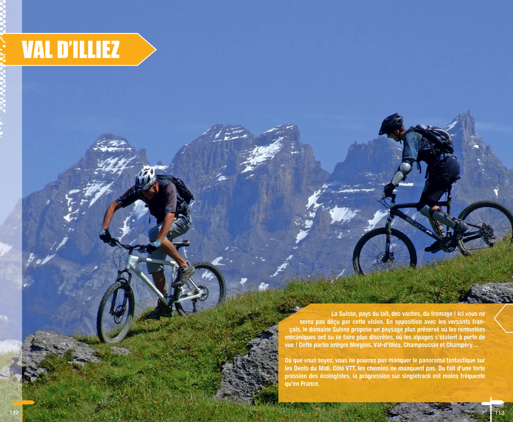
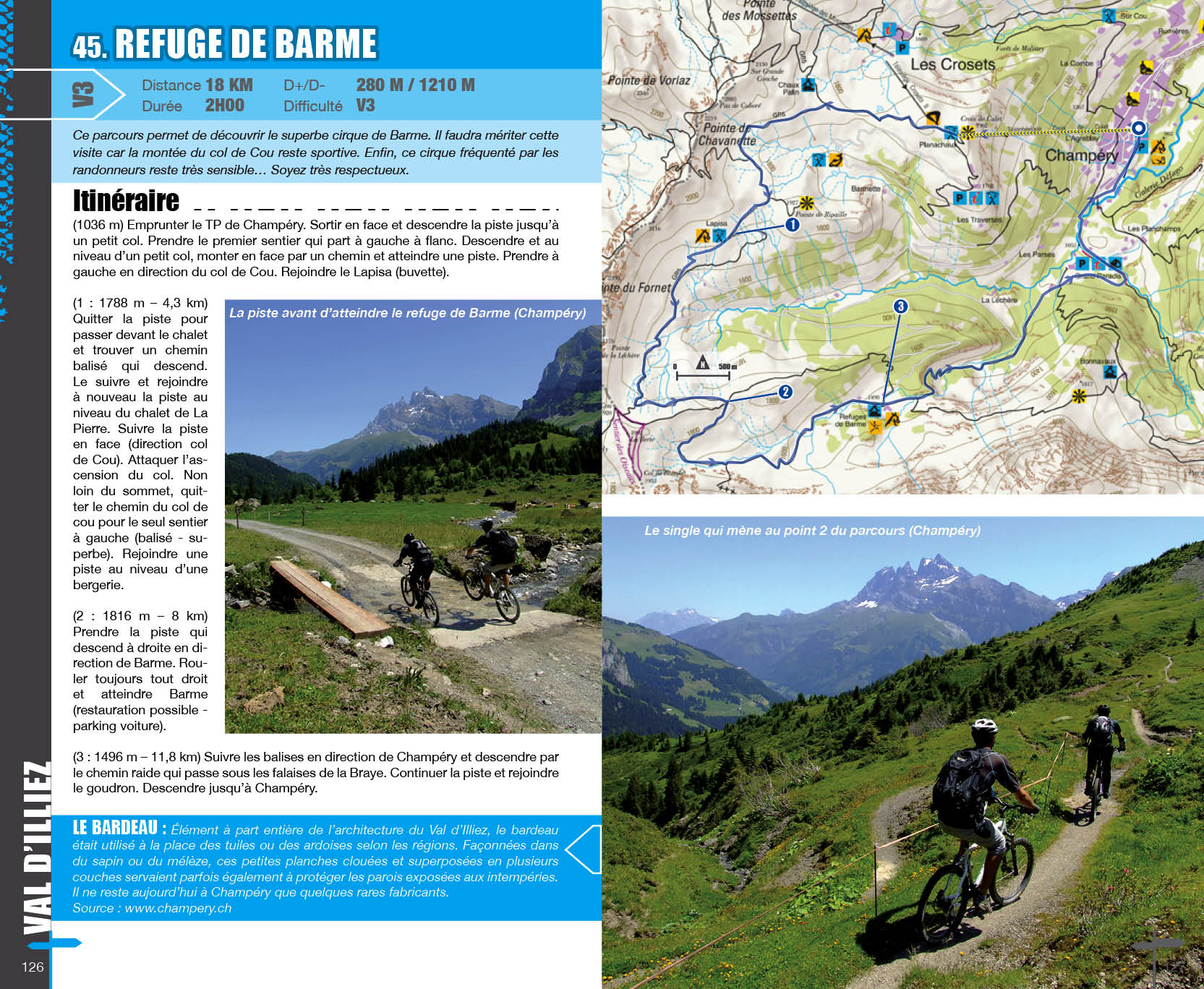
SWITZERLAND: includes the Swiss side of the Portes du Soleil (entitled Bikepark.ch): Morgins, Val-d'Illiez, Les Crosets, Champéry...
BIKE PARK & DH: presents in detail the facilities dedicated to this practice of mountain biking in each station.
Pass'Portes 2013 by INTENSE VTOPO from Éditions VTOPO on Vimeo .
INTENSE VTOPO Crew: 2012 Acte 6 from Éditions VTOPO on Vimeo .
Chapter Seven: Oxygen from Éditions VTOPO on Vimeo .
- Pays : France
- Région(s) : Auvergne-Rhône-Alpes
- Département(s) : Haute-Savoie
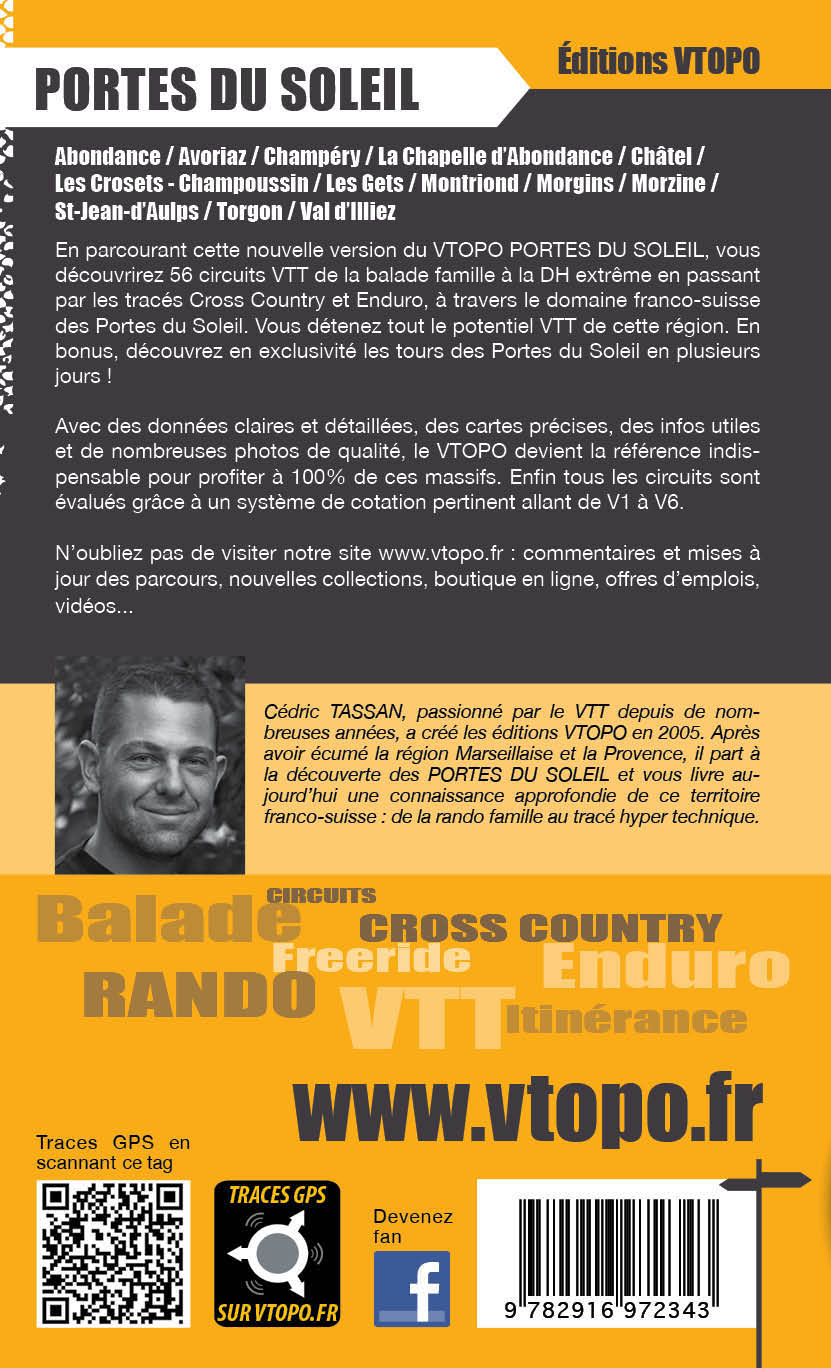
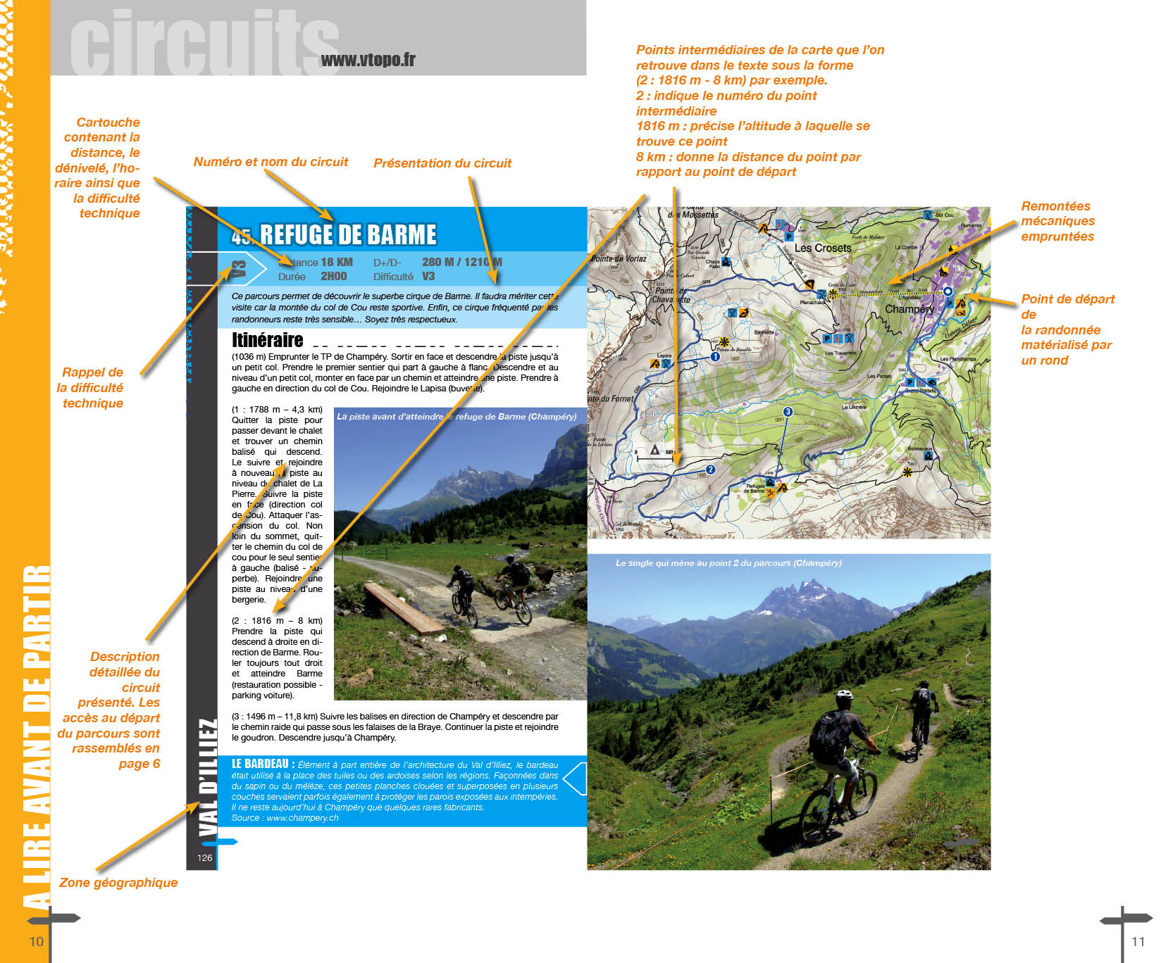
- 56 circuits détaillés avec cartes IGN
- Format pratique 14 x 23 cm et léger 400 g
- Traces GPS au format GPX compatibles App smartphones et GPS portables
- Des infos récurrentes très utiles : variantes, région, point de vue...
- Avec le système de cotation technique VTOPO de V1 à V6
- 160 pages en couleur
- Photos
- Langue(s) : French
- Auteur(s) : Cedric Tassan
- ISBN : 9782916972343
- Date de parution : 30. Mai 2012
Livraison offerte (sauf MON AFGHANISTAN : un français au cœur des montagnes, livre de plus de 2kg) à partir de 60€ en France métropolitaine, Corse, Andorre et Moncaco. Tous les tarifs ici.
Expédié sous 48h dès parution.
Un lien pour télécharger vos Traces GPS vous sera envoyé par e-mail.
Les Traces GPS sont complémentaires du contenu des topo-guide VTOPO.
Nous vous déconseillons d'utiliser uniquement les Traces GPS sans la consultation du topo-guide en question.
Avec ce dernier, vous aurez accès aux niveaux de difficultés, à des recommandations, des précautions et à un descriptif détaillé, utile en cas d'erreur d'orientation. Vous aurez aussi la possibilité de visualiser des variantes et autres possibilités.

