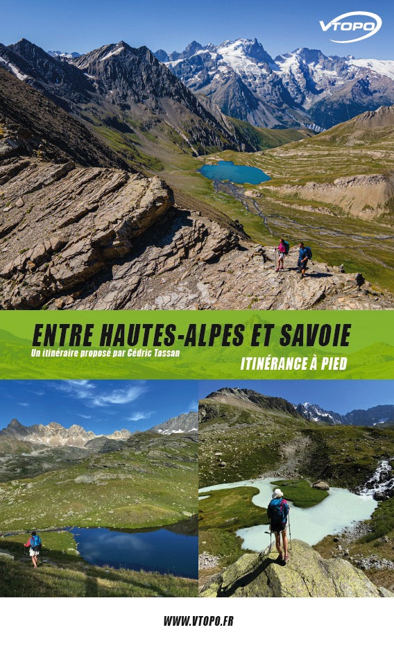
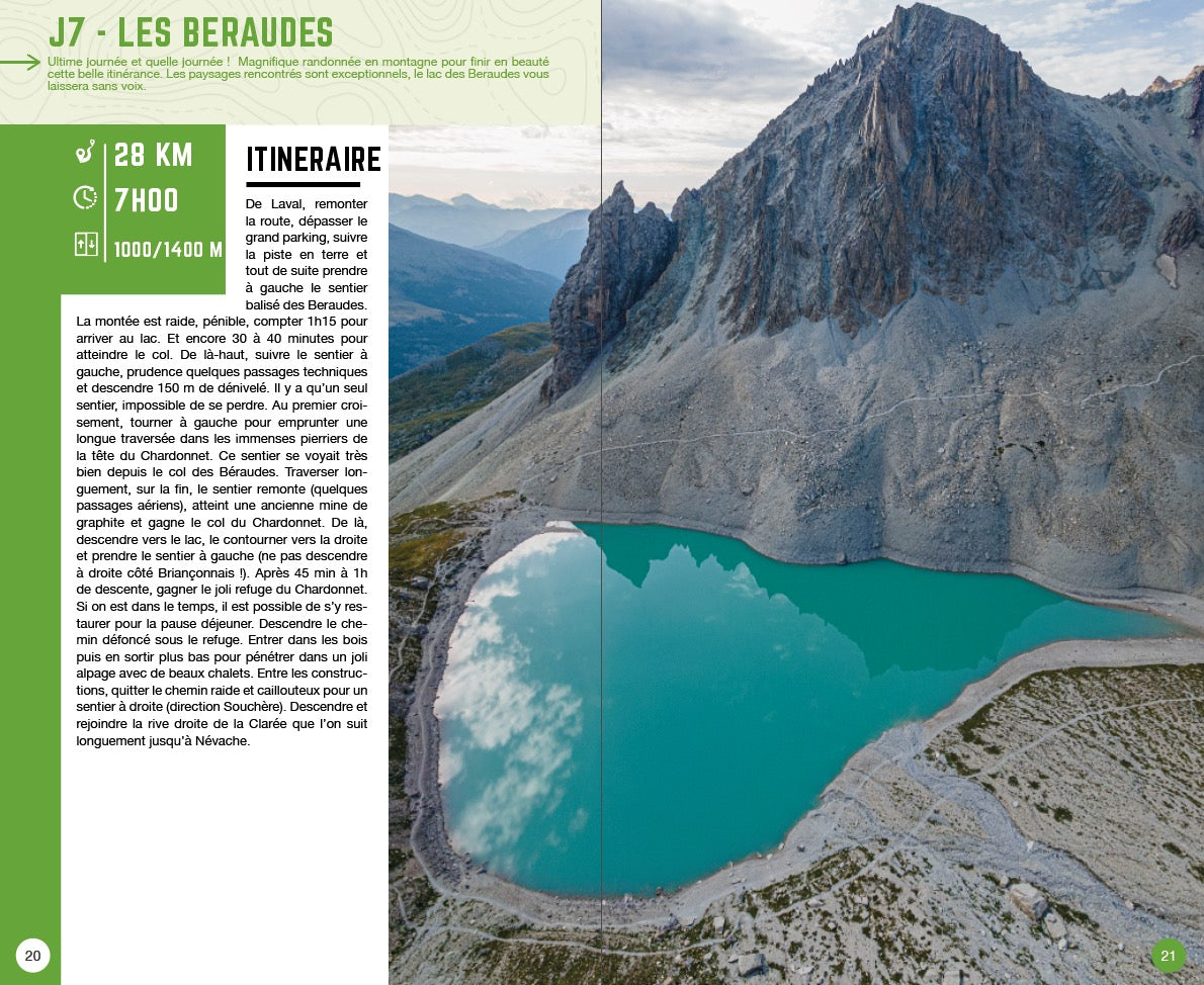
7 days of walking, 170 km, 7000 m of altitude difference, in a loop between Hautes-Alpes and Savoie, an exceptional itinerary, in magnificent landscapes, for lovers of mountain roaming.
- Pays : France
- Région(s) : Auvergne-Rhône-Alpes und Provence-Alpes-Côte d'Azur
- Département(s) : High mountains und Savoy
- 7 étapes détaillées
- Format PDF pratique et compatible tous smartphones
- Traces GPS au format GPX compatibes smartphones et GPS portables
- Des infos récurrentes très utiles : variantes, région, point de vue...
- Photos
- Langue(s) : French
- Auteur(s) : Cedric Tassan
- Date de parution : 1. Oktober 2020
Un lien pour télécharger vos Traces GPS vous sera envoyé par e-mail.

