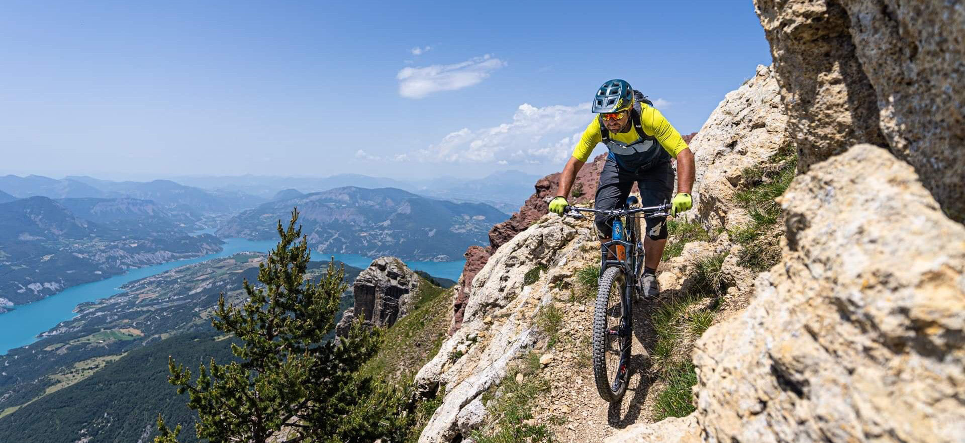
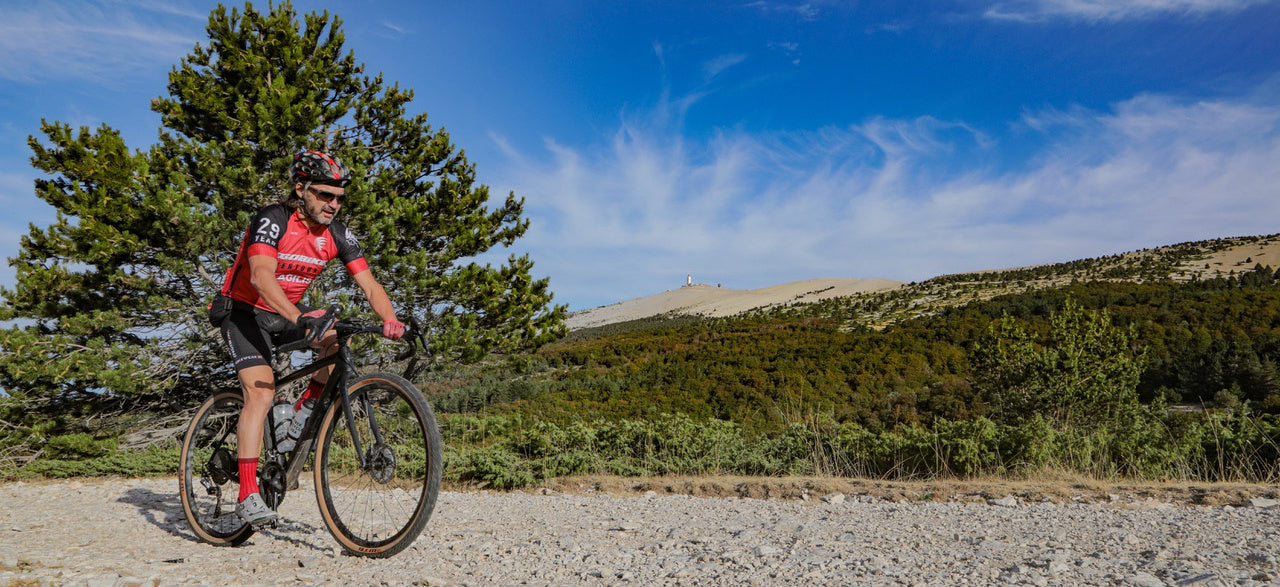
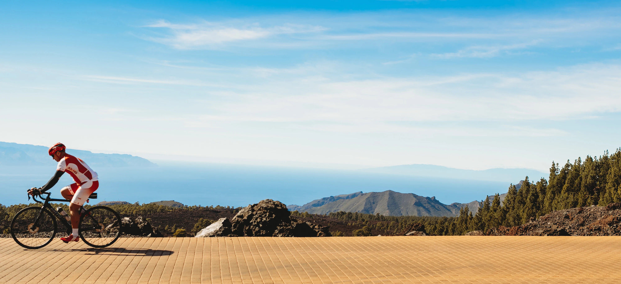
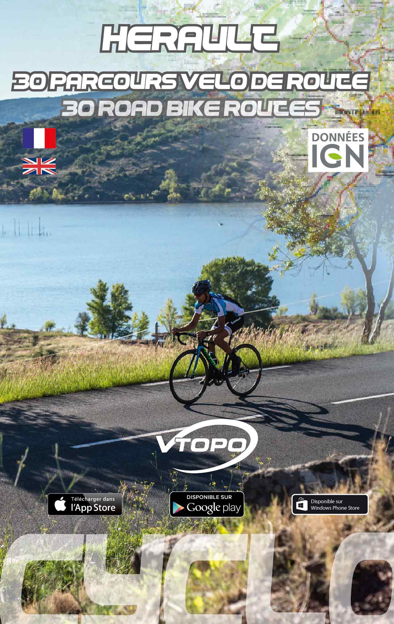
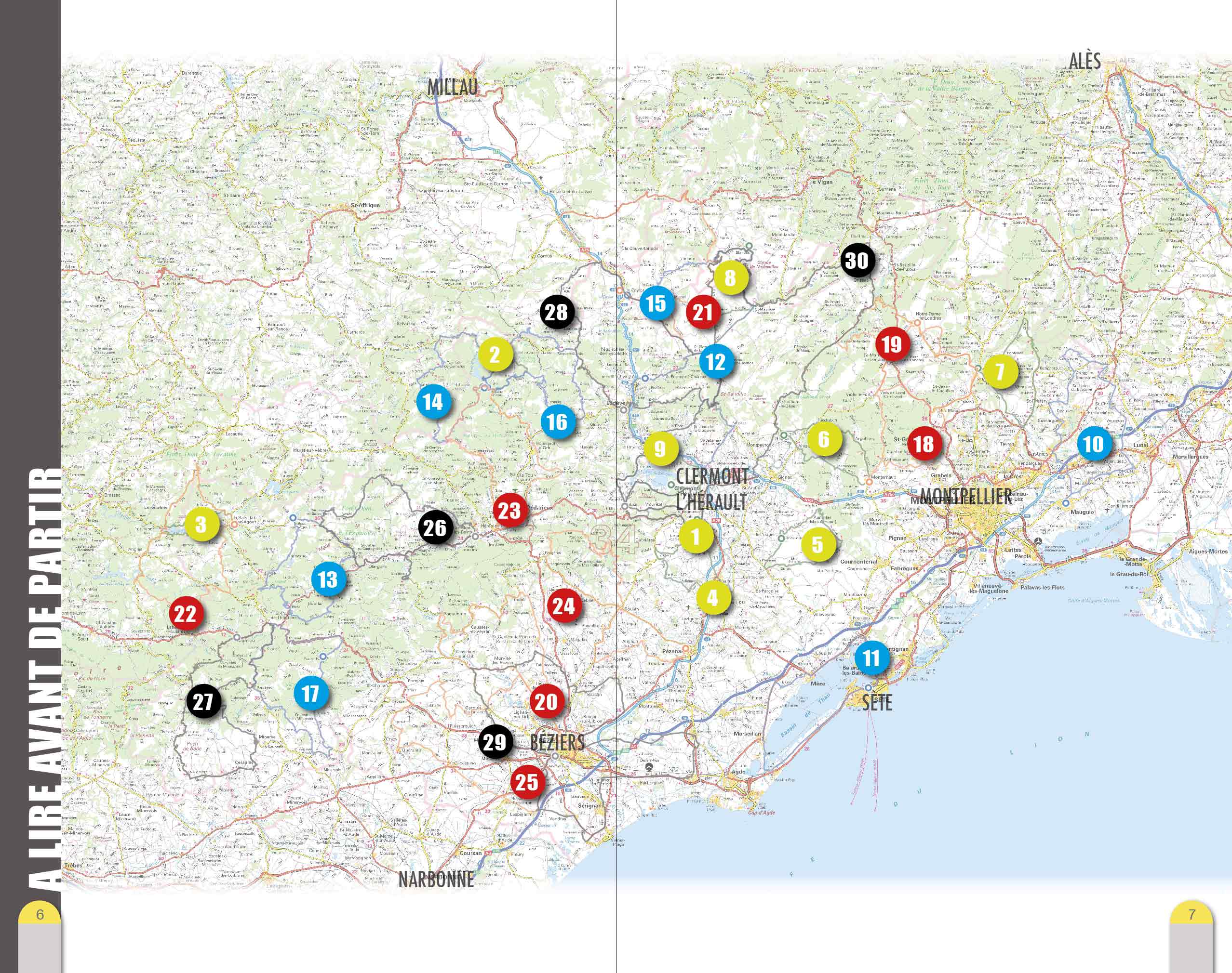
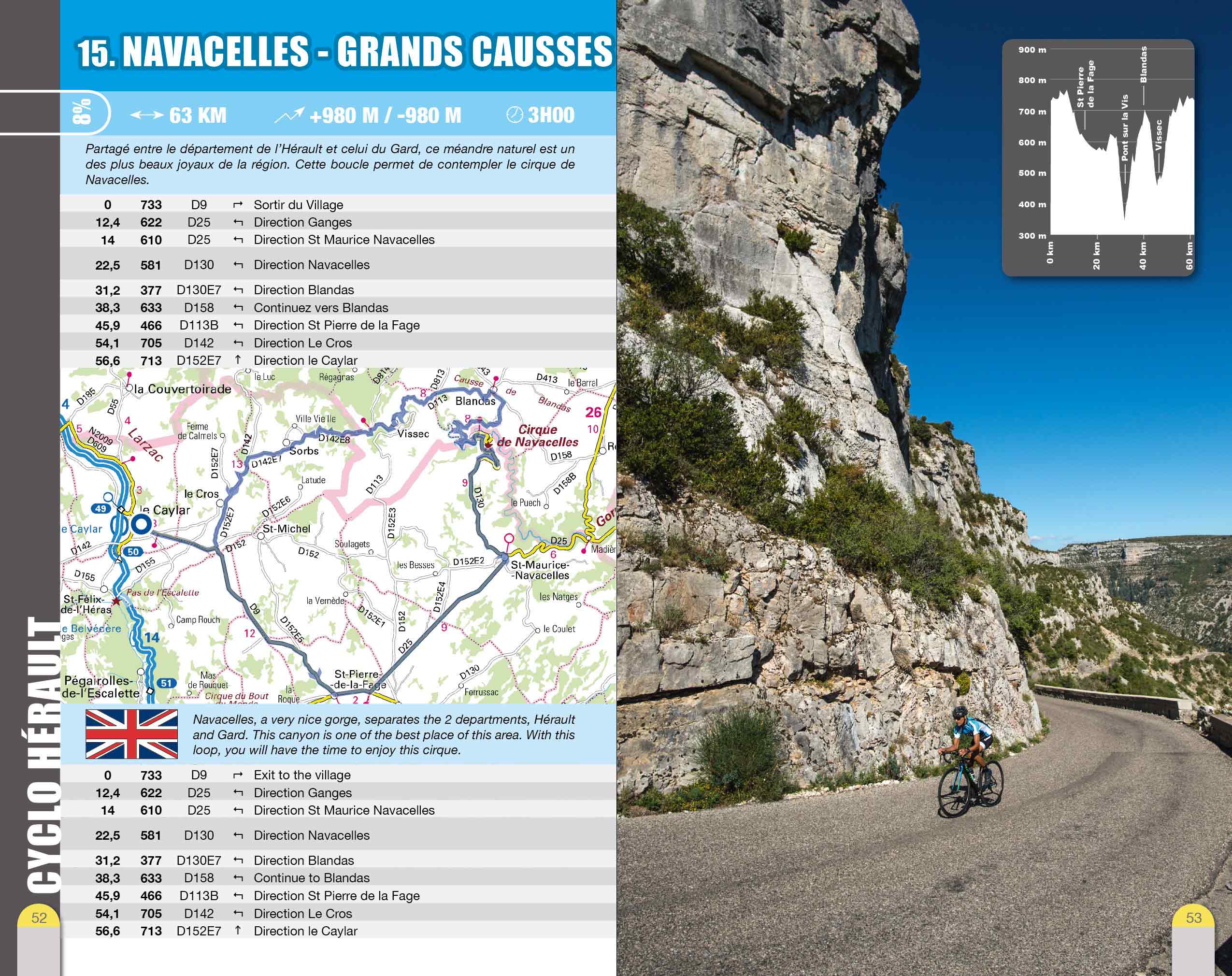
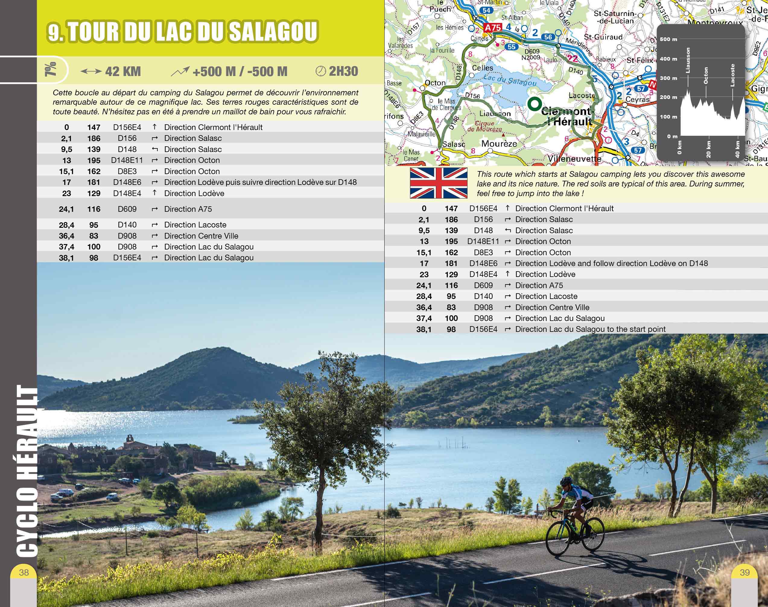
By browsing this VTOPO, you will discover 30 road bike routes through the Hérault department: discovery rides, cyclo-sporting outings... Whatever your level, beginner, trained or expert, with this VTOPO you will find the course adapted to your desire. Don't wait any longer and discover this fabulous department!
These VTOPO Cyclo are characterized by a targeted approach: each route includes clear and detailed data, IGN maps, useful information, numerous quality photos, a Green, Blue, Red, Black color code indicating the difficulty of the route.
- Pays : France
- Région(s) : Occitania
- Département(s) : Hérault
- 30 parcours vélo de route tous niveaux
- Format pratique et léger 400 g
- Traces GPS au format GPX compatibes smartphones et GPS portables
- Des infos récurrentes très utiles : variantes, région, point de vue...
- Photos
- Langue(s) : French
- ISBN : 9782916972909
- Date de parution : 30. März 2016
Livraison offerte (sauf MON AFGHANISTAN : un français au cœur des montagnes, livre de plus de 2kg) à partir de 60€ en France métropolitaine, Corse, Andorre et Moncaco. Tous les tarifs ici.
Expédié sous 48h dès parution.
Un lien pour télécharger vos Traces GPS vous sera envoyé par e-mail.
Les Traces GPS sont complémentaires du contenu des topo-guide VTOPO.
Nous vous déconseillons d'utiliser uniquement les Traces GPS sans la consultation du topo-guide en question.
Avec ce dernier, vous aurez accès aux niveaux de difficultés, à des recommandations, des précautions et à un descriptif détaillé, utile en cas d'erreur d'orientation. Vous aurez aussi la possibilité de visualiser des variantes et autres possibilités.

