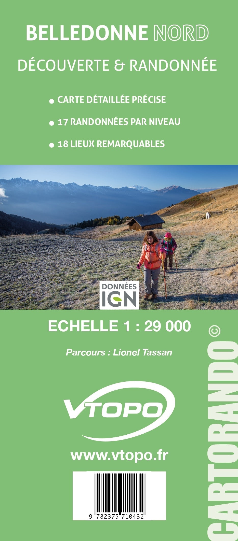
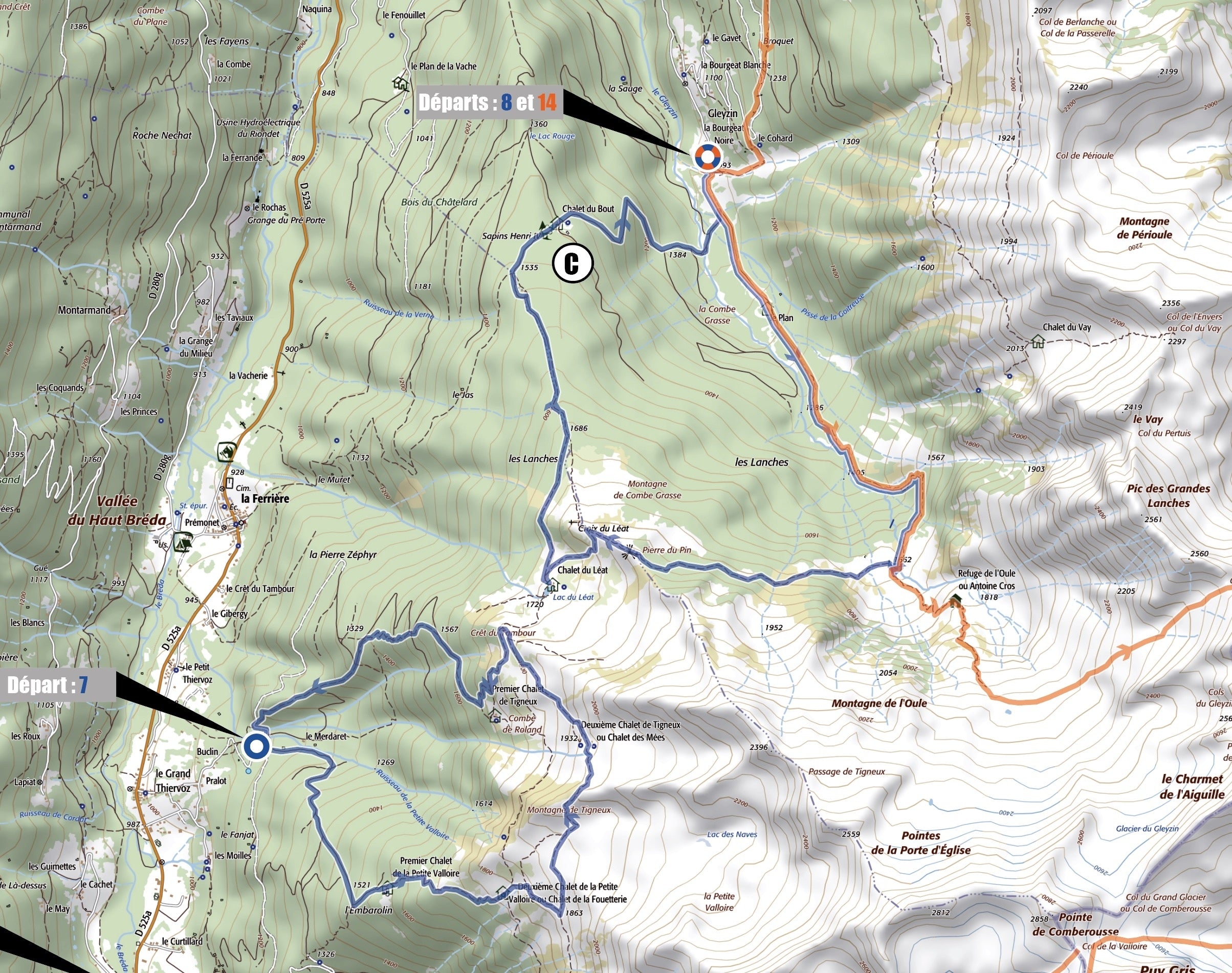
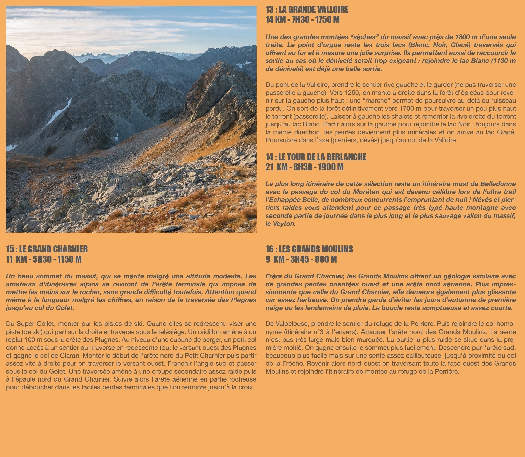
The CARTORANDO collection, suitable for discovery and hiking, are precise maps with described hikes by level:
- background at 1/29,000
- 18 remarkable places presented and identified on the map
- Pays : France
- Région(s) : Auvergne-Rhône-Alpes
- Département(s) : Isère
- 17 randonées tous niveaux
- Tracé précis sur fond de carte IGN, explicatifs des itinéraires
- Carte résistante au format pratique (11 x 25 cm fermée) et très légere 100 g
- Traces GPS au format GPX compatibes smartphones et GPS portables
- Photos
- Langue(s) : French
- ISBN : 9782375710432
- Date de parution : 22. Juni 2019
Livraison offerte (sauf MON AFGHANISTAN : un français au cœur des montagnes, livre de plus de 2kg) à partir de 60€ en France métropolitaine, Corse, Andorre et Moncaco. Tous les tarifs ici.
Expédié sous 48h dès parution.
Un lien pour télécharger vos Traces GPS vous sera envoyé par e-mail.

